Product
Vehicle RTK


Rapid, vehicle-based scanning without GCPs
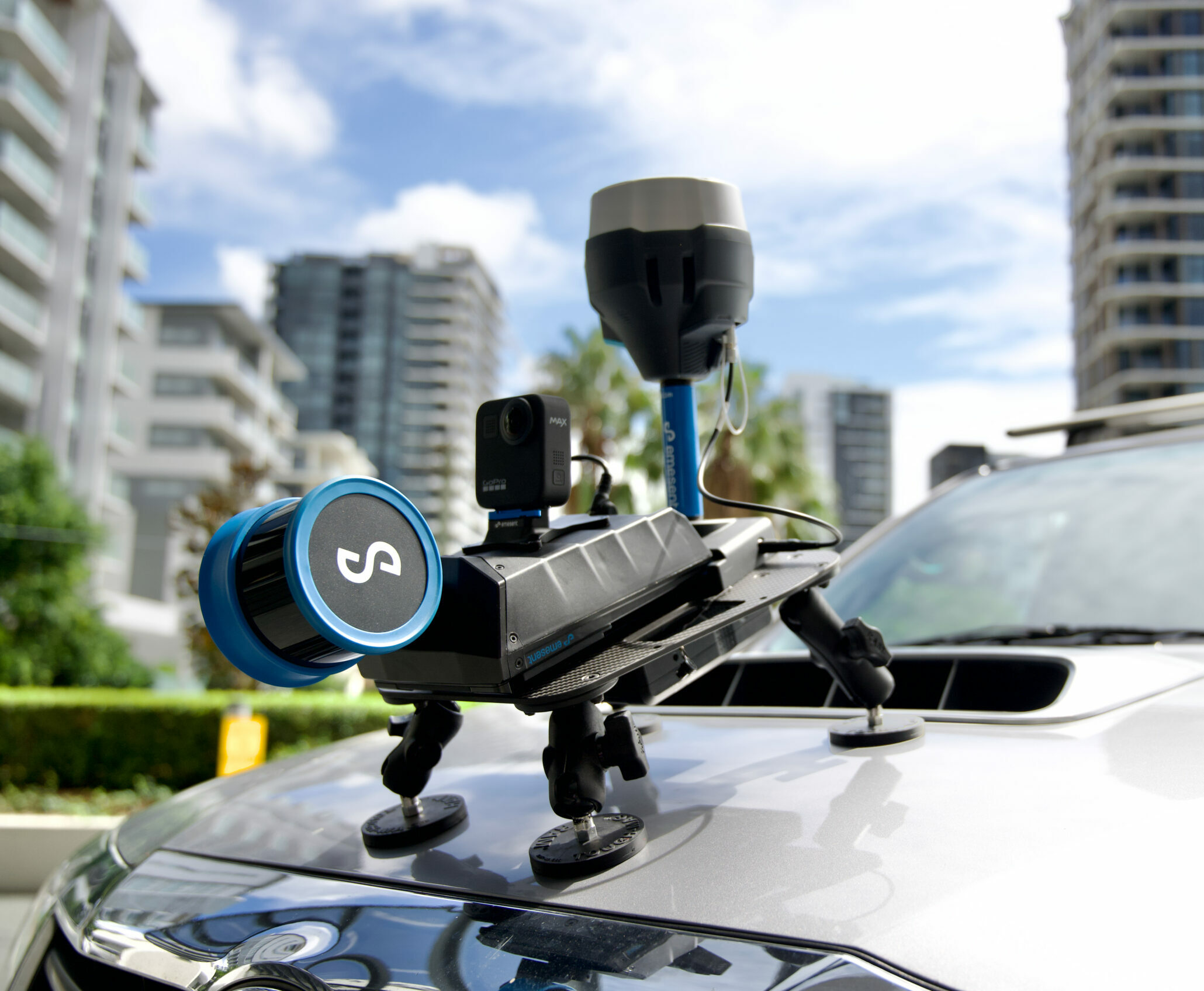
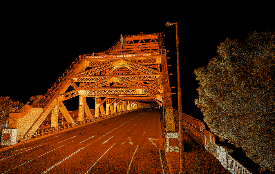
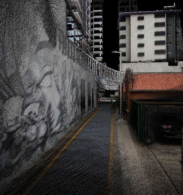
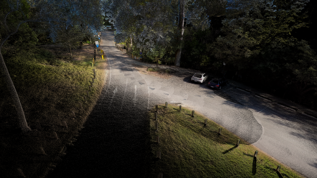
Drone scan not suitable? Need to scan an area too large to walk? Emesent Vehicle RTK delivers confident scanning over large areas and of long, linear assets without the need for GCPs. Simply attach the Hovermap Vehicle Mount with RTK to your vehicle, establish a connection and you are ready to start scanning. Automated georeferencing and drift correction intelligently leverages both RTK and SLAM to optimize results and ensure the most reliable, robust point cloud, while eliminating labor-intensive and error prone processes.
Combine with the 360 colorization kit for Hovermap to add a new level of reality and extract 360 degree images for additional context.
Benefit from:
Tested and verified by an independent surveyor against 75 quality control points.
Where to use Vehicle RTK
Where to use Vehicle RTK
WHAT’S IN THE KIT?
WHAT’S IN THE KIT?
COMPATIBLE WITH
COMPATIBLE WITH
ALSO AVAILABLE
ALSO AVAILABLE
Emesent Products
Payloads
Accessories
Robotics platforms
See Vehicle RTK in action
"The combination of the Hovermap’s RTK capability and Trimble’s best-in-class GNSS receivers makes georeferencing effortless for our clients.”


