Skip to content
Payloads
Hovermap
Software
Aura
Commander
Cortex
Accessories
360° Image Kit
Backpack RTK
CMS Mount
Drone RTK
Hovermap Cage
Hovermap LHD
Vehicle RTK
Extensions
360° Colorization
Automated Ground Control
Long Range Radio
Robotics platforms
Boston Dynamics Spot robot
DJI M350 drone
Freefly Astro Max drone
Ready to see how Emesent products work?
Get in touch
Mining
Convergence Monitoring
Open Pit Mine Mapping
Stockpile Measurement
Stope Reconciliation
Underground Mine Production
AEC
Construction As-built Survey
Infrastructure As-built Survey
Routine Bridge Inspection
Scan to BIM
Topographic Survey
Industry use case
AEC
Defense
Geospatial
Mining
Oil and Gas
Public Safety
Third-party software workflows
For AEC
For Mining
Ready to see how Emesent products work?
Get in touch
Our team
Careers
Contact
Emesent’s strengths
Mapping
Autonomy
Versatility
Ready to see how Emesent products work?
Get in touch
Book a Demo
Explore Business Plans
Find a Reseller
Refer a peer
Request Pricing
Visit Emesent Store
Ready to see how Emesent products work?
Get in touch
ALL Resources
Blog
Case Studies
Datasets
Events
News
Videos
Webinars
Client Portal
Emesent Assure
Knowledge Base
Partner Portal
Client Experience
Ready to see how Emesent products work?
Get in touch
Featured Content
Hovermap
Accuracy Report
Click Here
Products
Solutions
Resources
About
Buy
Client Portal
Partner Portal
Talk to a Specialist
Products
Expand
Payloads
Hovermap
Software
Aura
Commander
Cortex
Accessories
360° Image Kit
Backpack RTK
CMS Mount
Drone RTK
Hovermap Cage
Hovermap LHD
Vehicle RTK
Extensions
360° Colorization
Automated Ground Control
Long Range Radio
Robotics platforms
Boston Dynamics Spot robot
DJI M350 drone
Freefly Astro Max drone
Solutions
Expand
Mining
Convergence Monitoring
Open Pit Mine Mapping
Stockpile Measurement
Stope Reconciliation
Underground Mine Production
AEC
Construction As-built Survey
Infrastructure As-built Survey
Routine Bridge Inspection
Scan to BIM
Topographic Survey
Industry use case
AEC
Defense
Geospatial
Mining
Oil and Gas
Public Safety
Third-party software workflows
For AEC
For Mining
Resources
Expand
ALL Resources
Blog
Case Studies
Datasets
Events
News
Videos
Webinars
Client Portal
Emesent Assure
Knowledge Base
Partner Portal
Client Experience
About
Expand
Our team
Careers
Contact
Emesent’s strengths
Mapping
Autonomy
Versatility
Buy
Expand
Book a Demo
Explore Business Plans
Find a Reseller
Refer a peer
Request Pricing
Visit Emesent Store
Customer Portal
Partner Portal
Book a Demo
✖
Search
Toggle Menu Close
Resource Center
Filter by
Use Case
Resource Type
Industry
Any
News
Webinars
Videos
Case Studies
Blog
Datasets
Brochures
Any
News
Webinars
Videos
Case Studies
Blog
Datasets
Brochures/Case Studies
Any
Mining
Engineering & Construction
Geospatial
Environmental
Oil & Gas
Defense
Reset
Datasets
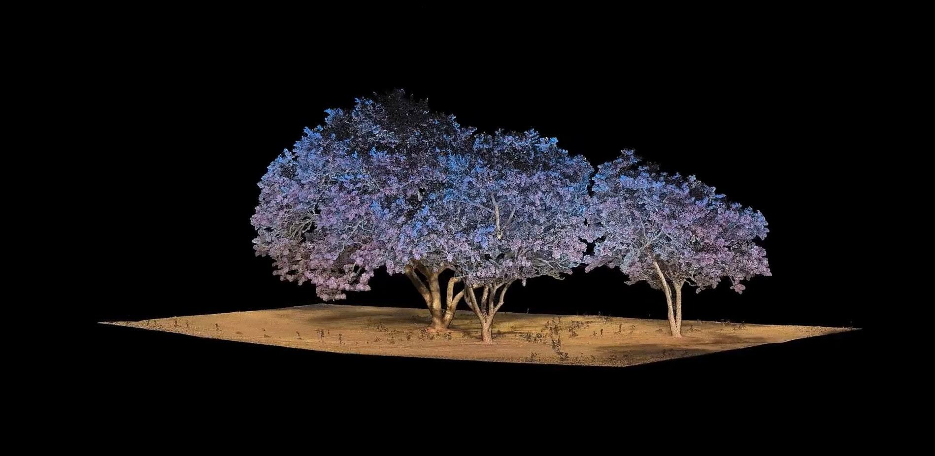
Jacaranda Tree
Read more
Continue
Datasets
Georeferencing in Aura with User Selected Targets and Check Points
Read more
Continue
Datasets
Hovermap Colorization
Read more
Continue
Datasets
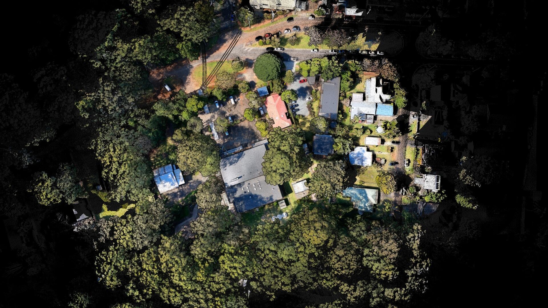
Taman Menteng Park
Read more
Continue
Datasets
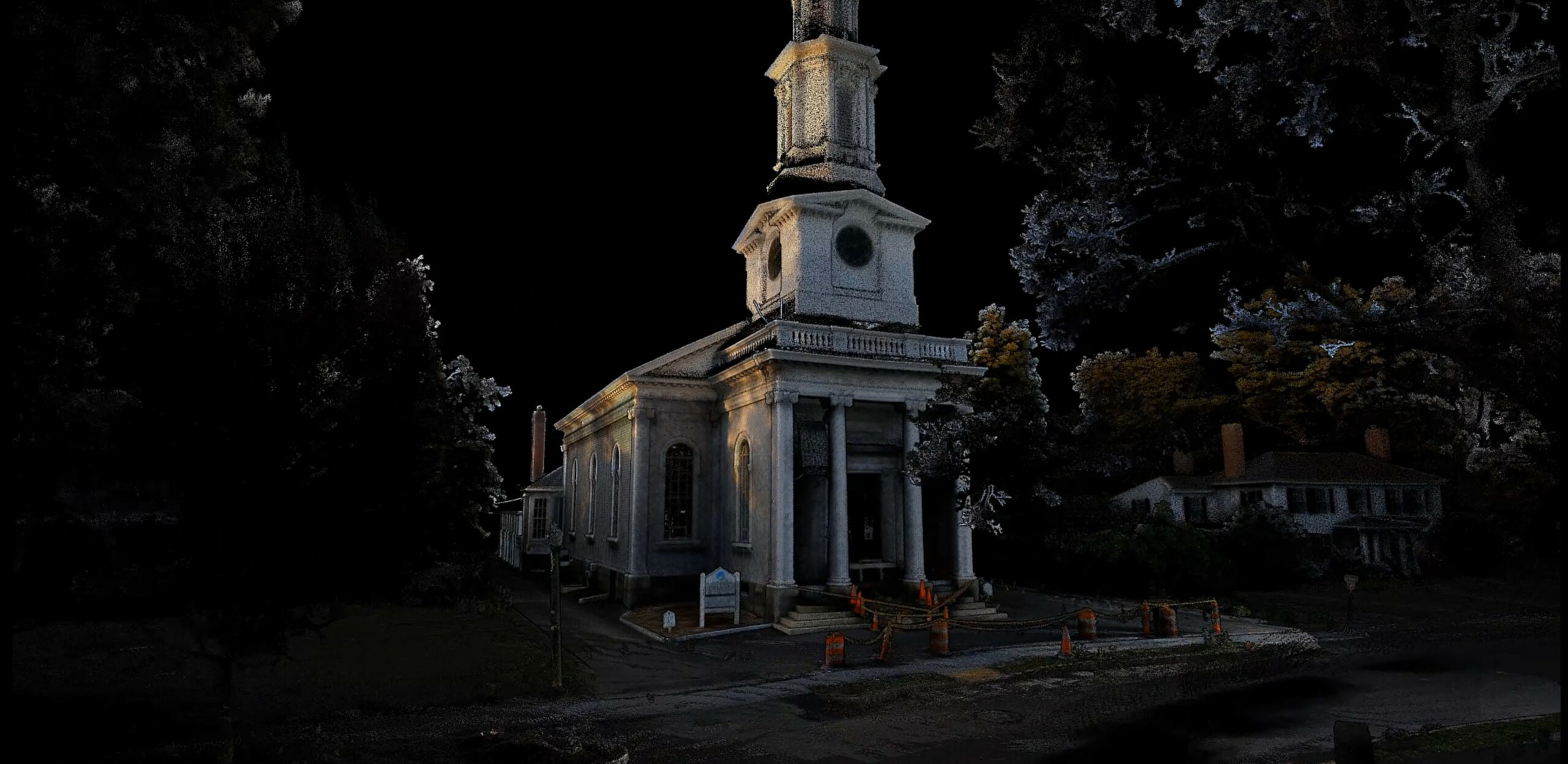
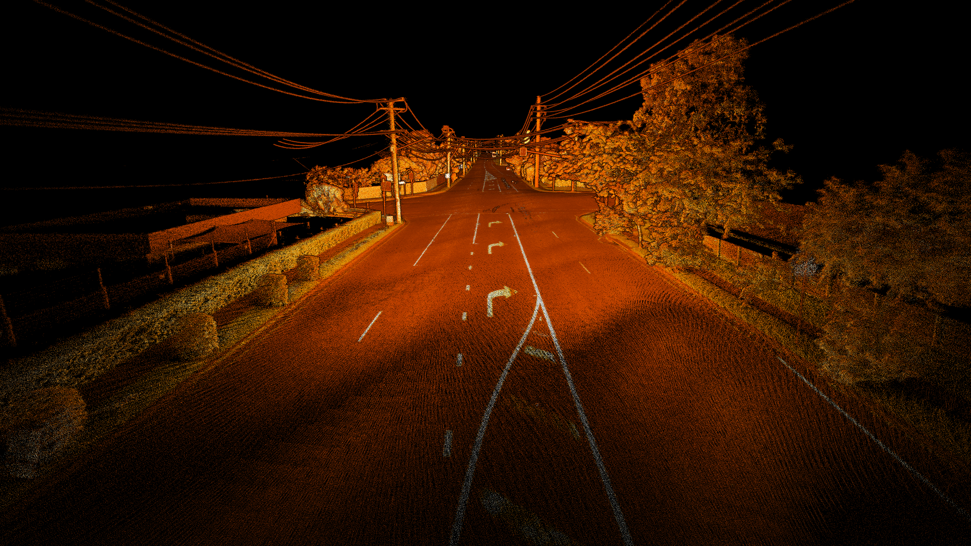
Historic church in Massachusetts
Read more
Continue
Datasets
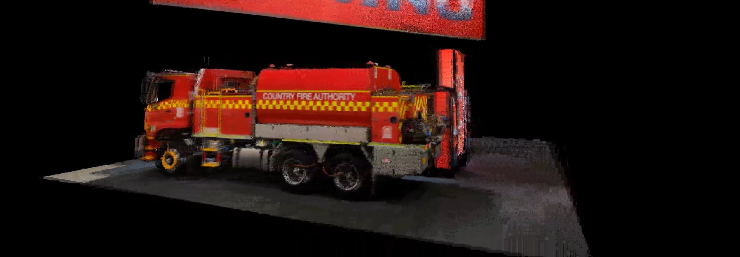
HINO Fire Truck
Read more
Continue
Datasets
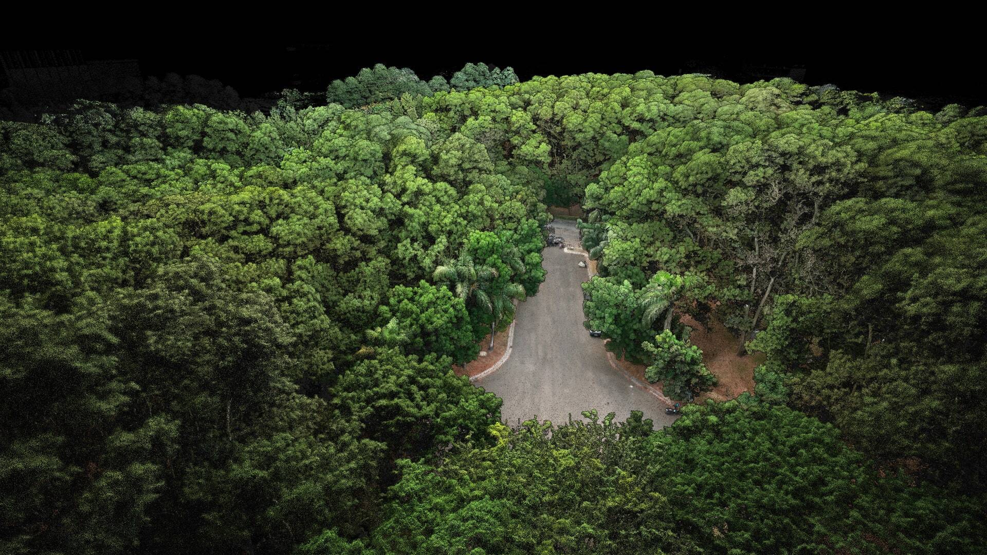
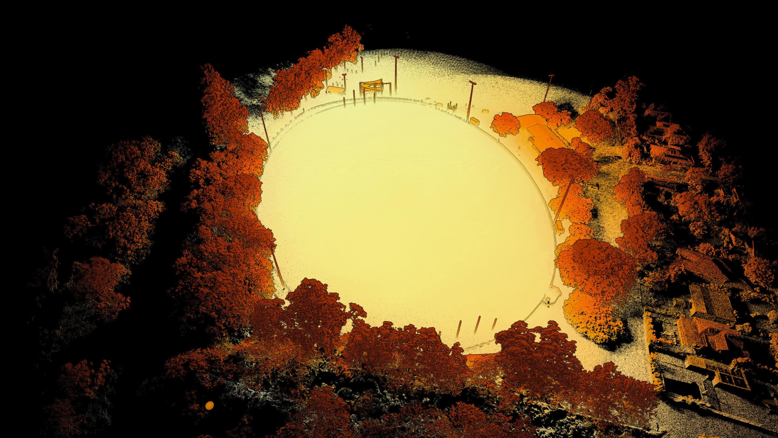
Sports field - M350 Drone RTK
Read more
Continue
Datasets
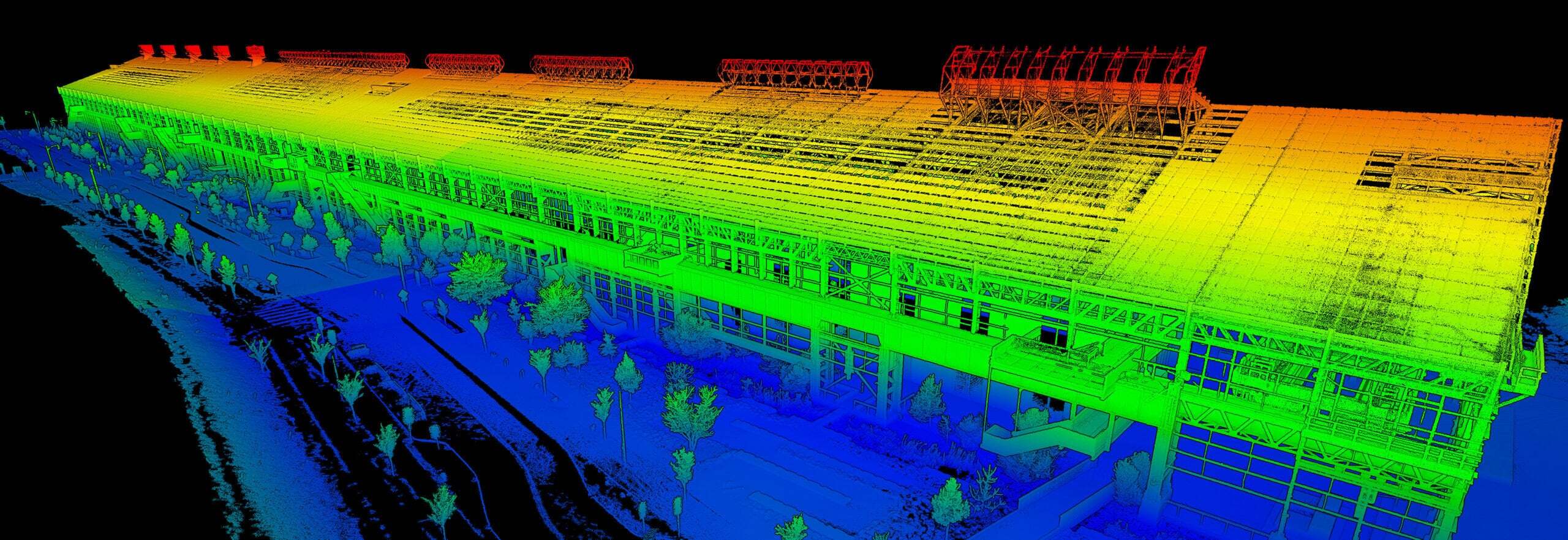
Old Steel Mill in Pennsylvania
Read more
Continue
Datasets
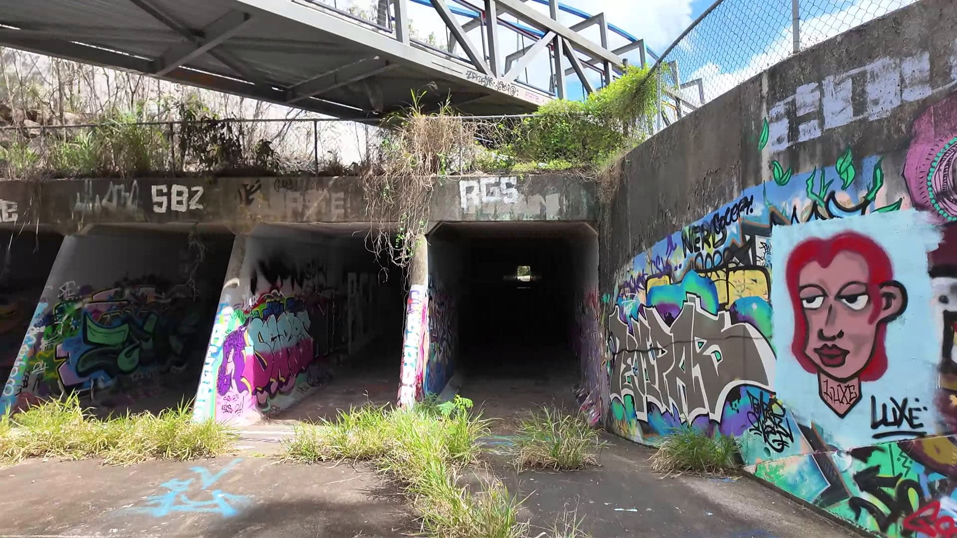
Low-feature Culvert
Read more
Continue
Datasets
Vehicle RTK accuracy study
Read more
Continue
Datasets
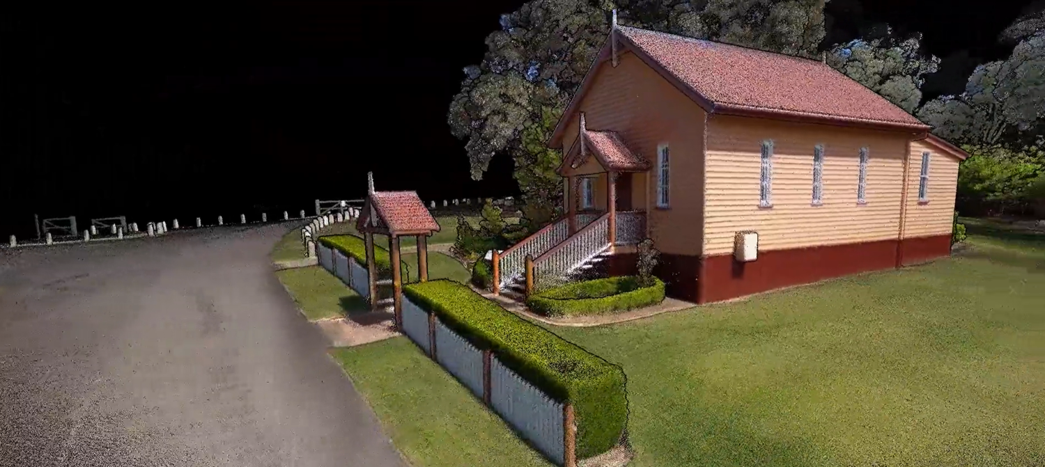
Rural church in Brisbane
Read more
Continue
Datasets
Backpack RTK accuracy study
Read more
Continue
Datasets
Nepalese Peace Pagoda - Brisbane, Australia
Read more
Continue
Blog
Georeferencing in Aura with User Selected Targets and Check Points
Read more
Continue