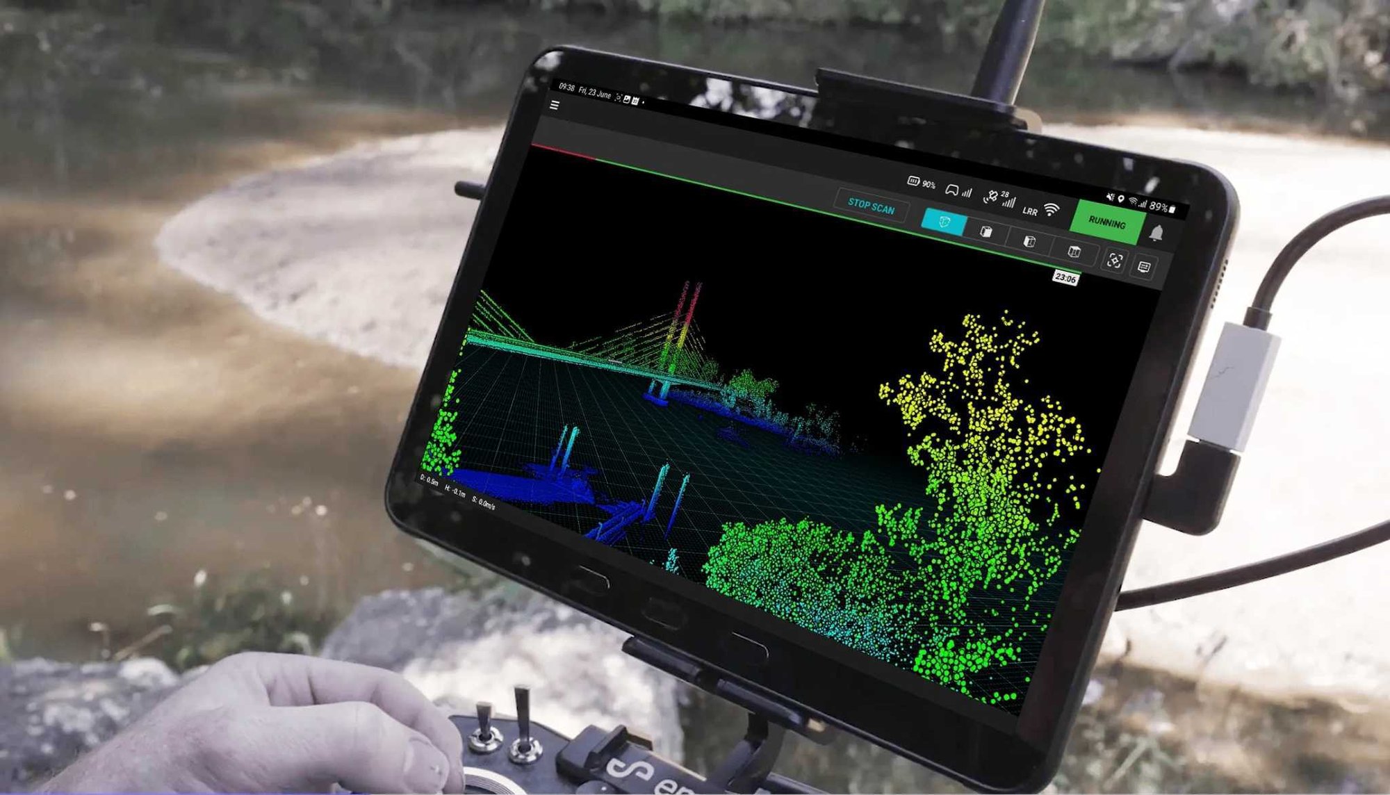


Autonomous waypoint mode
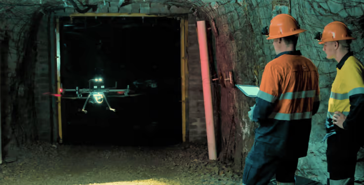
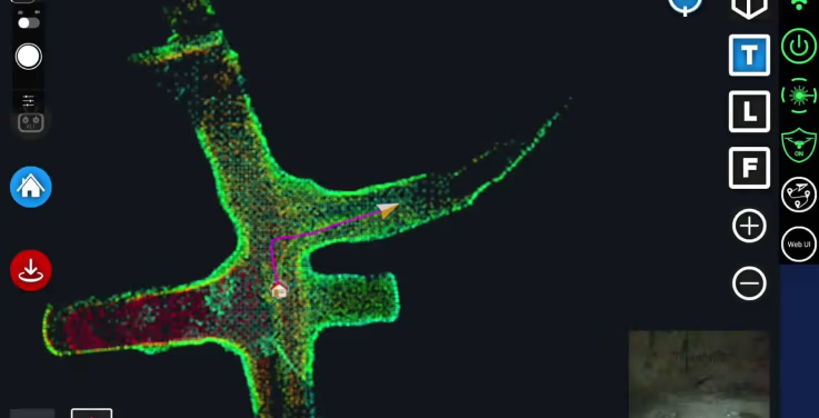
Autonomous waypoint mode provides beyond line of sight flight through smart waypoints and guided exploration.Simply tap on the map to set smart waypoints, and hovermap takes care of the rest, navigating to the waypoints, mapping the area, and keeping itself and the drone safe from obstacles.

Pilot assist mode
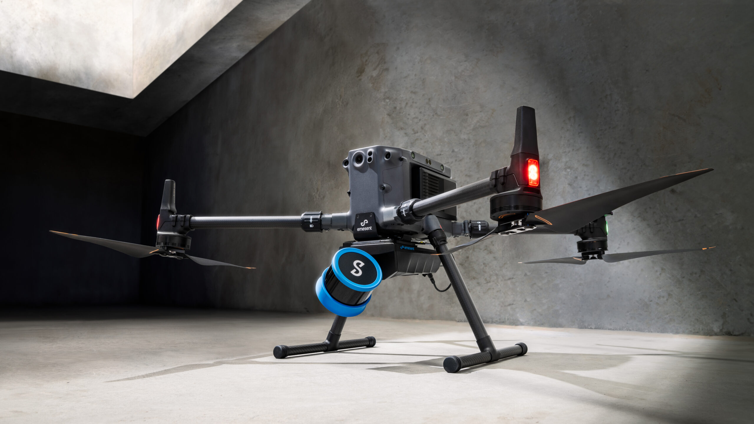
Pilot assist mode provides omnidirectional collision avoidance, line of sight gps-denied flight capability, and stability control, providing the confidence and stability for close, thorough inspections. It acts as a safety bubble for your drone, keeping the asset and your equipment safe. This mode is available in the plus subscription.

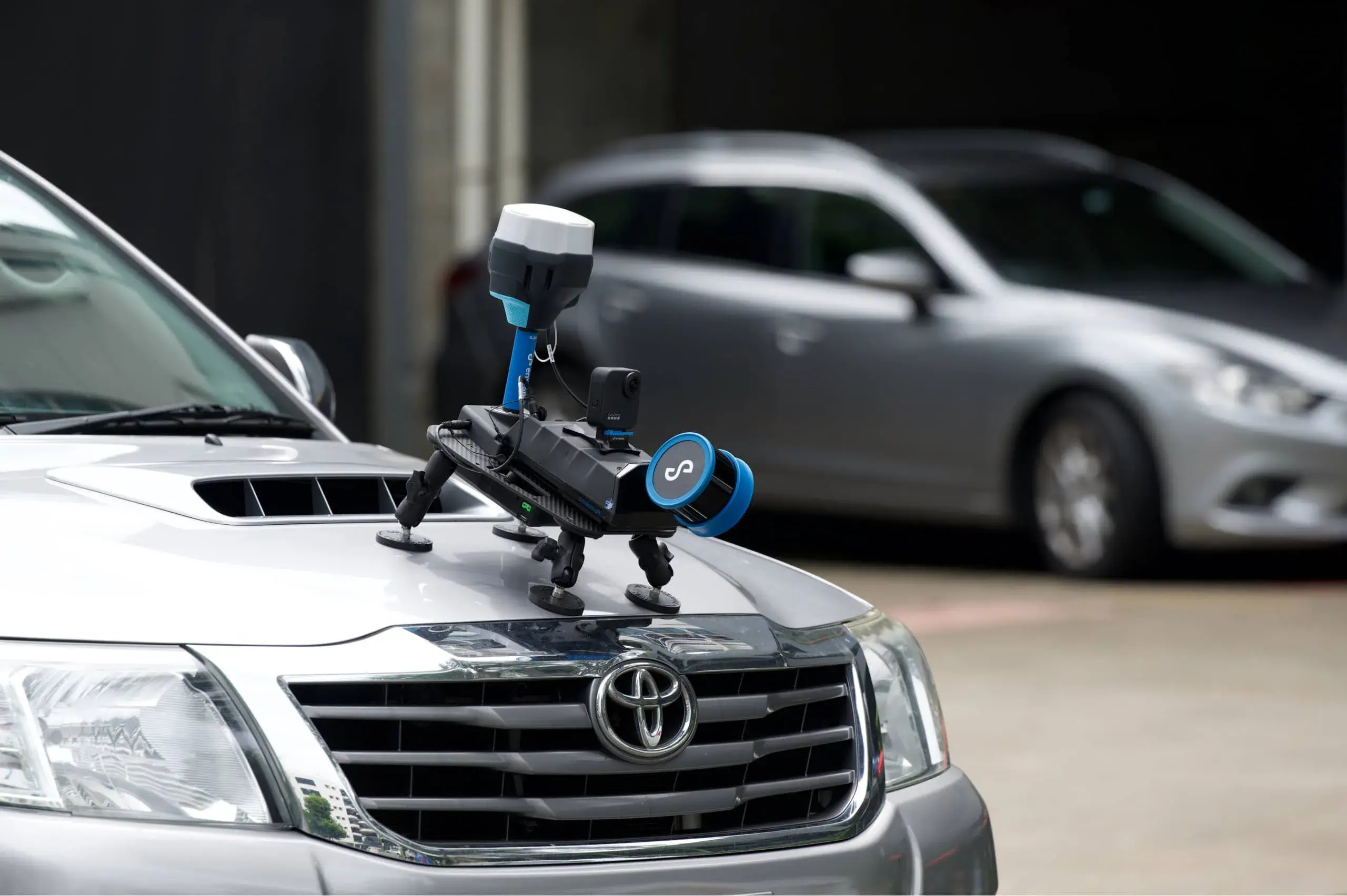
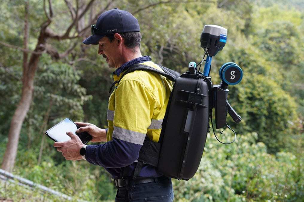
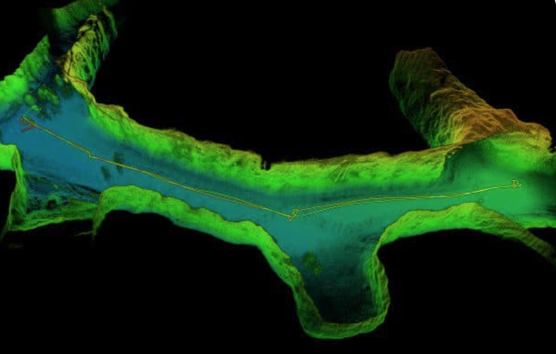
Mapping mode
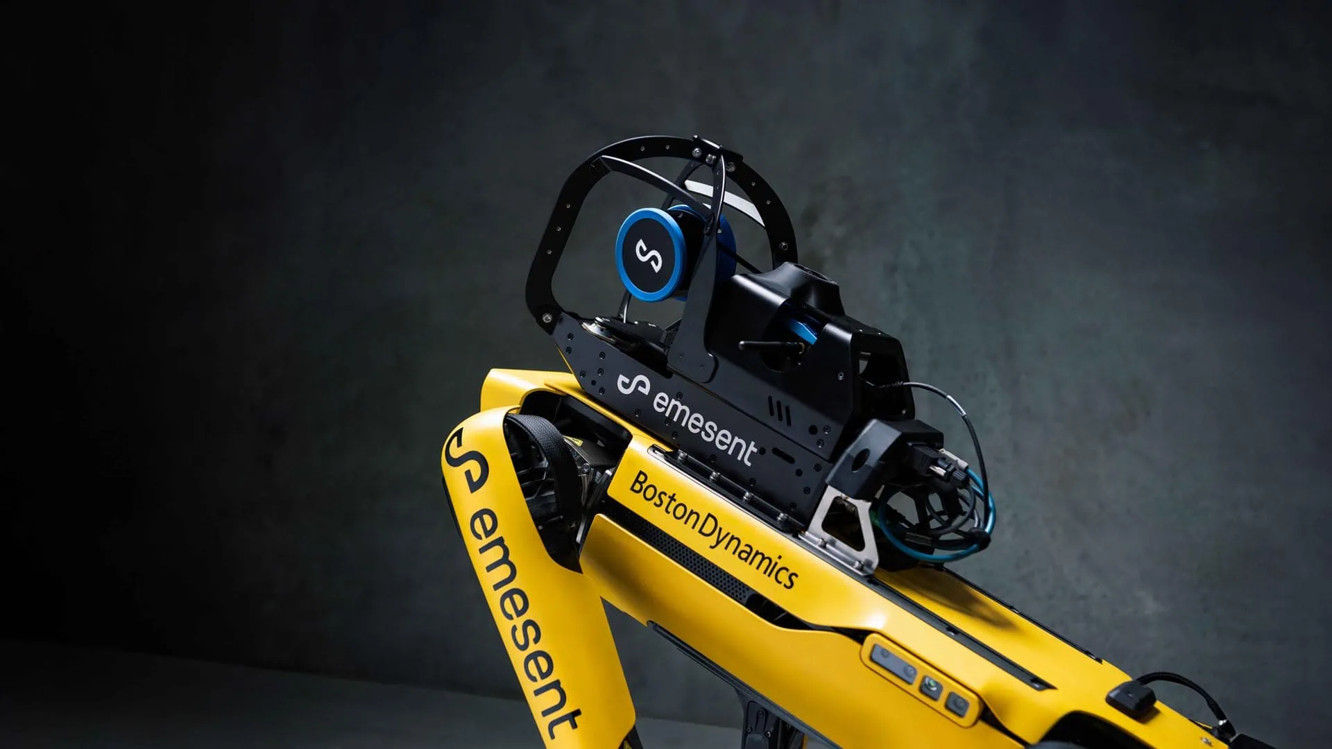
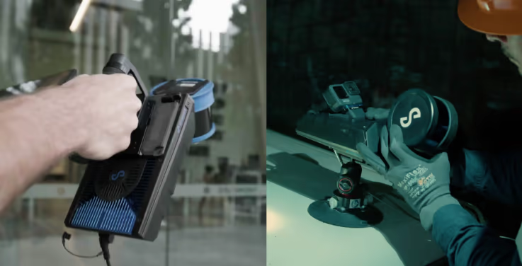
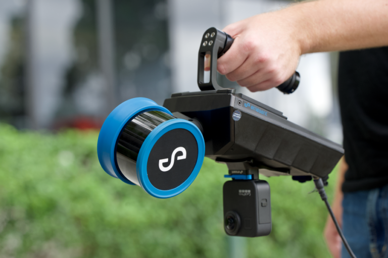
Mapping mode offers fast, accurate, and high-resolution mobile scanning of environments where drone autonomy is unnecessary. Hovermap’s quick-release mechanism allows you to easily switch from a drone to handheld scanning or a backpack, vehicle, or protective cage for SLAM-based mobile mapping.