Product
High-speed survey with Boston Dynamics Spot robot


Extend Spot’s reality capture capabilities with Emesent’s versatile rapid survey payload
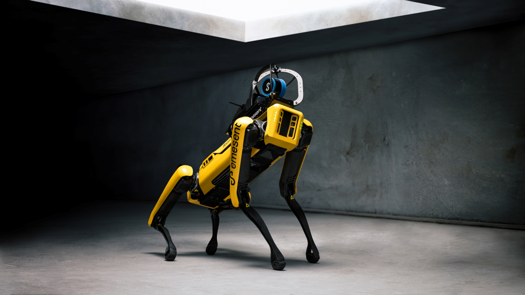
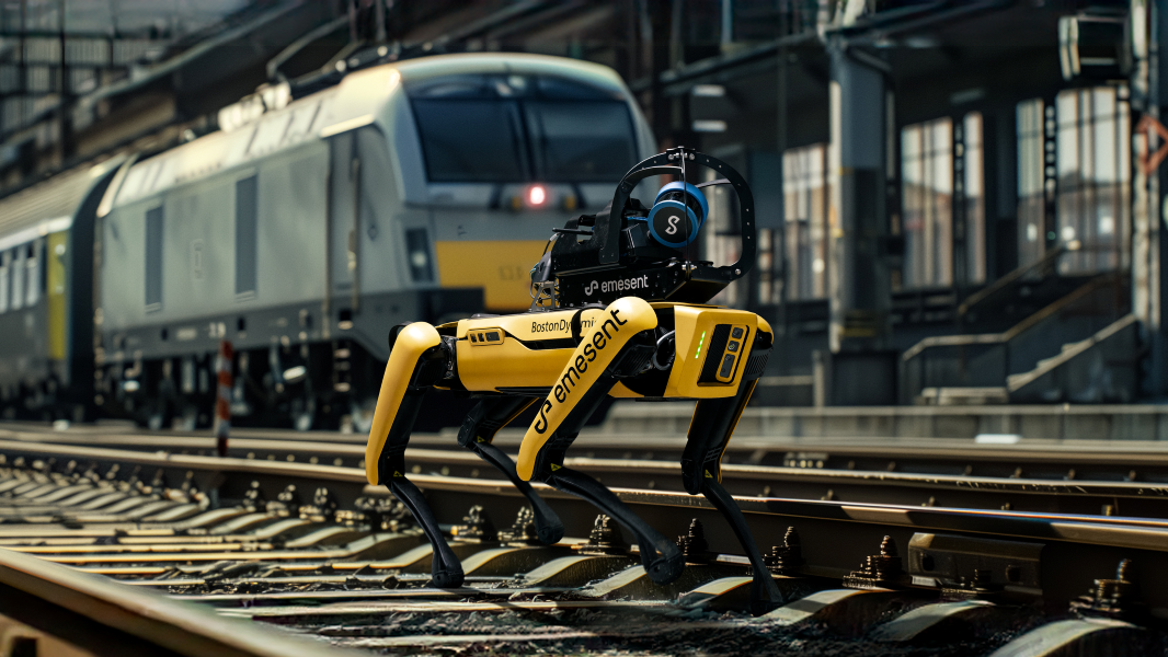
Looking to increase efficiency, streamline workflows and improve safety during inspection and maintenance tasks? Emesent’s Hovermap-Spot integration enables users to conduct pre-planned and remotely executed LiDAR mapping missions around the clock – reducing time spent on manual survey tasks and minimizing operational disruption.
The robust mount and data connection allows Hovermap to integrate directly with Spot, delivering a seamless workflow for routine inspection using Boston Dynamics inbuilt software. Hovermap’s 300-meter LiDAR range, combined with Emesent’s world leading SLAM algorithms allow users to capture non-stop scans at Spot’s maximum walking pace, making it 10X faster than conventional TLS capture methods. For confined space and other non-routine inspections, Emesent’s long-range radio extends teleoperation communications to 500 meters, enabling the fastest, large area surveys on the market.


