Product
Drone RTK


Fast, accurate, drone-based scans without GCPs
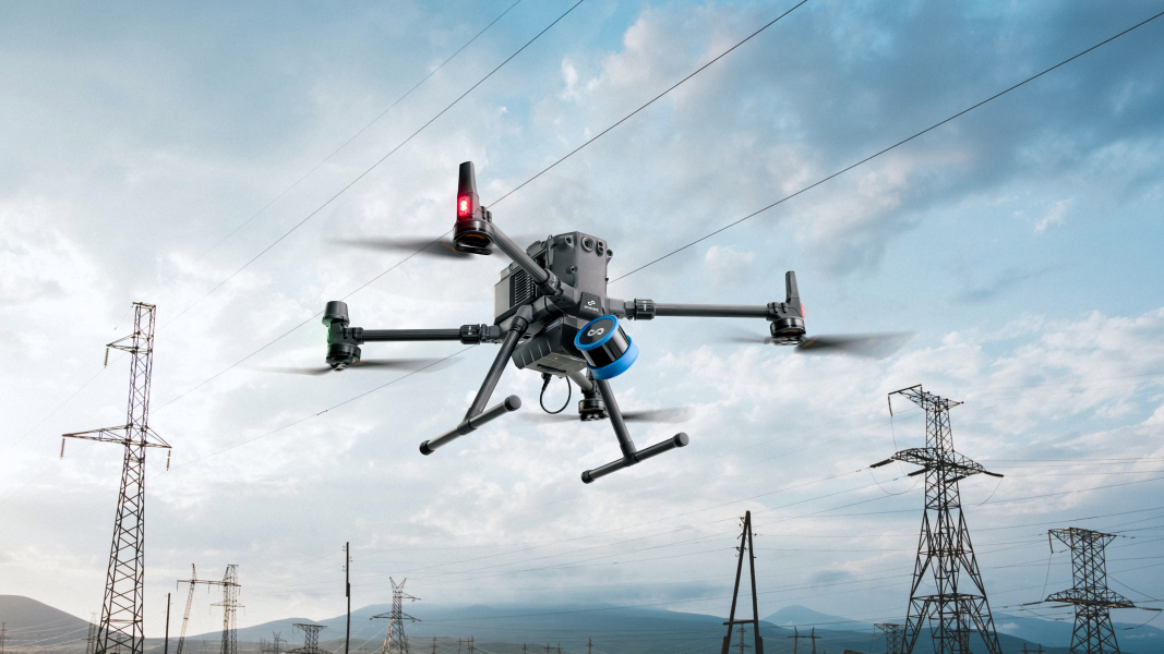
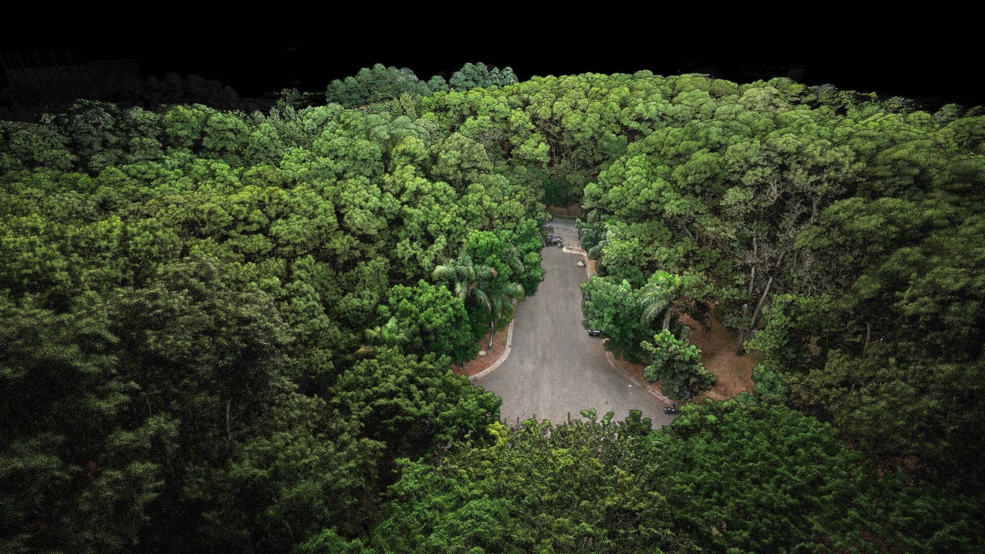
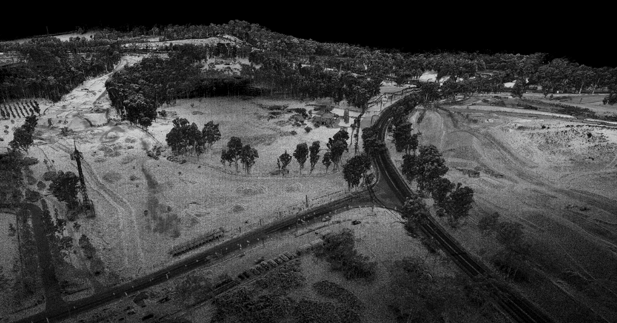
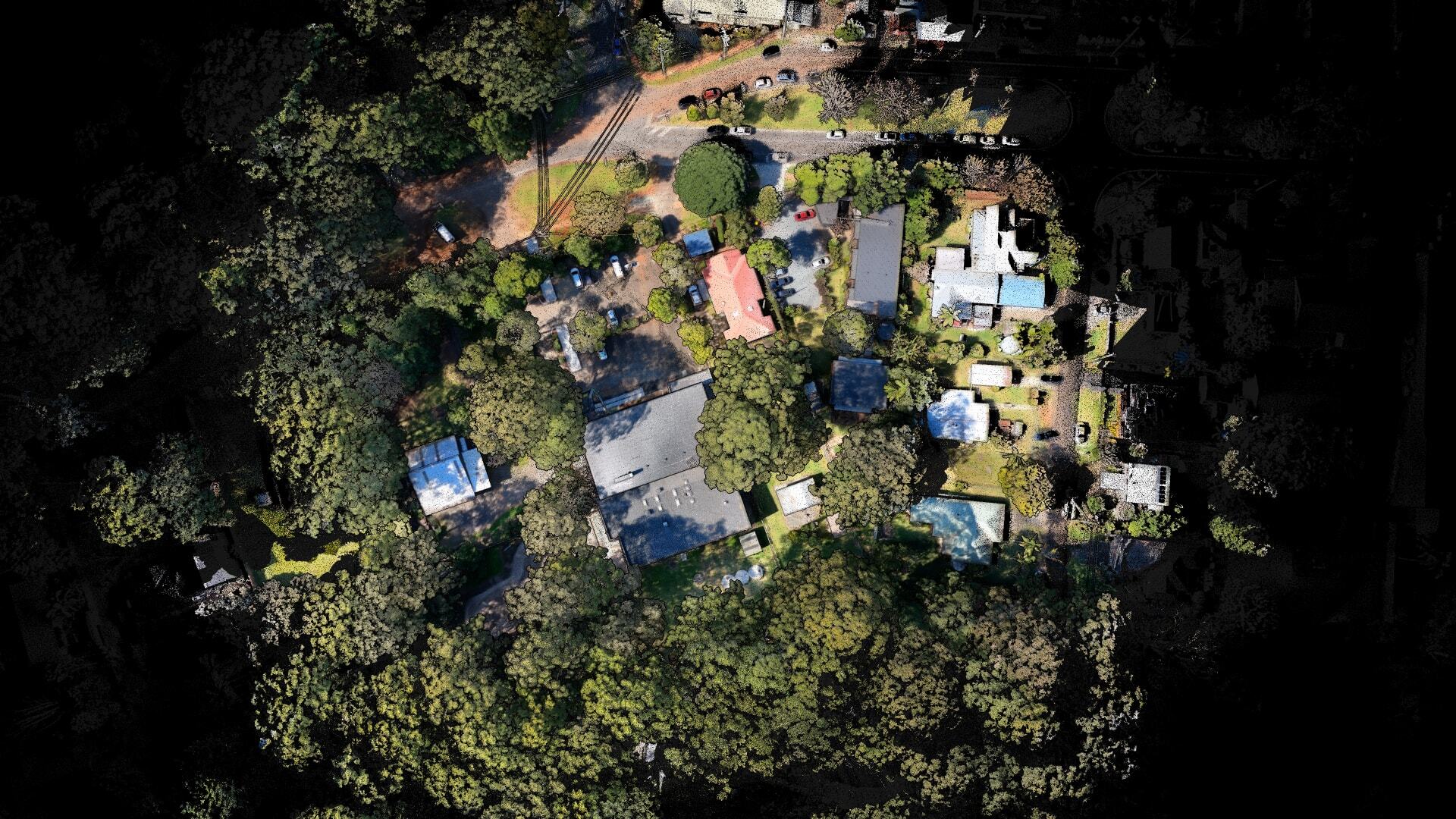
Emesent Aura now supports RTK, automating high accuracy georeferencing and drift correction for Hovermap scans on DJI’s M300 and M350 drones. This enables the delivery of fast, accurate and precise above-ground drone scans on demand, without the need to lay out and georeference ground control points.
Simply attach the Hovermap to your DJI M300 or M350 drone with the purpose-built mount, establish a connection and you are ready to start scanning. During processing Aura automatically evaluates the GPS signal quality and will intelligently choose the optimal combination of RTK and SLAM (either RTK and SLAM, or SLAM only if RTK is not of high enough quality), toggling between the two, to provide the user with the most reliable and robust point cloud.
“We have done flights at 100m with 40% overlap,
captured at 6m/s and generated data with check points
around the +-20mm range. We sit back and are
astonished by the data.”
– David Wallingford, Talison Lithium
Benefit from:
Intelligently leverage both RTK and SLAM to ensure the most reliable, robust point cloud.
Higher quality results for repeat scans and change detection.
Automated georeferencing and drift correction.


