Skip to content
English en

Fast, accurate, repeatable results without GCPs

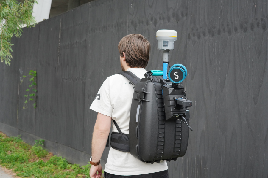
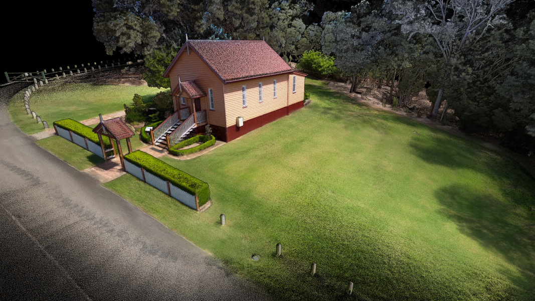
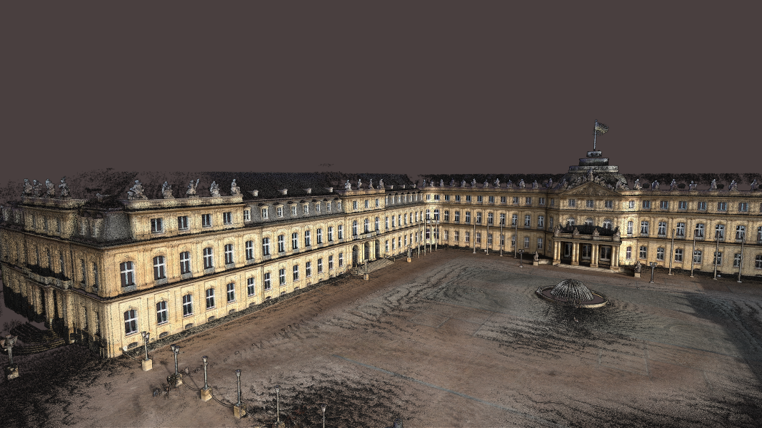
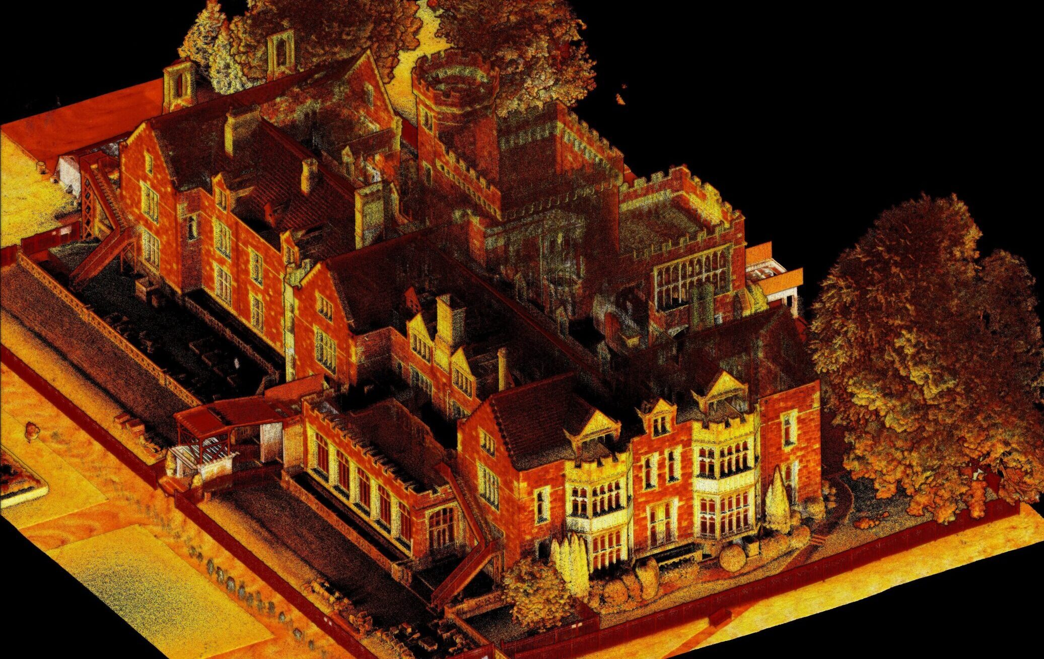
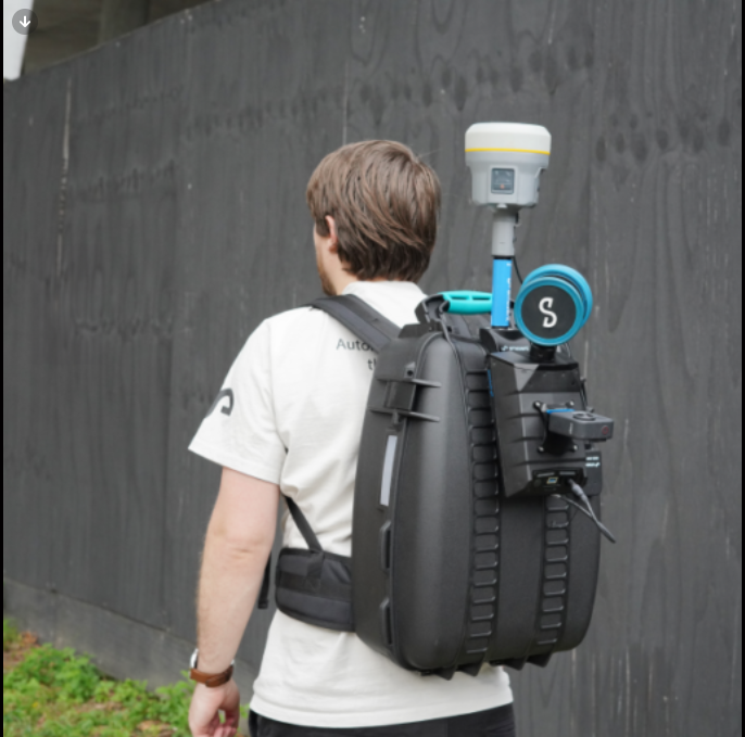
Emesent’s Backpack RTK automates high-accuracy georeferencing and drift-correction for backpack-based scans, to deliver fast, accurate and precise scans while reducing or eliminating the need to lay out and georeference ground control points. Intelligently leveraging both RTK and SLAM to optimize results, Backpack RTK ensures the most reliable, robust point cloud. Combine with the 360 colorization kit for Hovermap to add a new level of reality and extract 360 degree images for additional context.

When the highest accuracy is not required, Backpack RTK also allows georeferencing in GPS-denied environments. Start a scan outdoors using RTK and then seamlessly transition to SLAM capture indoors during the same scan, without requiring indoor set up of control points. Also beneficial in forestry applications, construction progress tracking, and any project where small areas of the site have limited or no GPS.

RTK can also be used when deploying Hovermap by drone or vehicle.

Benefit from:

compass.svg
Automated georeferencing
Automated georeferencing as you scan and one-click correction in Aura post-processing eliminates labor-intensive and time-consuming processes.
check-square.svg-1
The most reliable and robust point cloud
Reduces drift by seamlessly leveraging the optimal combination between RTK and SLAM.
target-1
A more accurate solution
Excels in environments traditionally more challenging for SLAM such as large areas with limited features or long, linear assets.
home
Outdoor to indoor scanning
In a single scanning session, georeference indoors without the need to shoot control by beginning and ending a scan with RTK outdoors.
play-circle.svg
Lightweight, intuitive set-up
Be up and scanning in minutes.
package.svg
Ease of transportation

All equipment fits inside the sturdy, ergonomically designed backpack, including the GNSS receiver, for ease of transportation.

Where to use Backpack RTK

3D modeling for as-builts or Scan to BIM

Small area topographic surveys

Tunnels, sewers and culverts

3D scanning of areas which are difficult to access via drone or vehicle

Projects where good quality georeferencing is needed

Project where SLAM solutions traditionally perform poorly (large areas near lakes and coastlines)

WHAT’S IN THE KIT?


Hardcase backpack with RTK GNSS mount

100mm GNSS extension pole

RTK mount to Emlid, Trimble, or Leica connection cable

Emesent Fisher cable

GOOD TO KNOW


The cables and GNSS extension pole are interchangeable between Vehicle and Backpack RTK kits.

An optional Backpack RTK kit without these items is available, avoiding duplication and reducing cost for users looking to utilize both kits.

Testimonial

“The combination of the Hovermap’s RTK capability and Trimble’s best-in-class GNSS receivers makes georeferencing effortless for our clients.”
Davide Agrati
3D Image & LS Product Manager

SPEKTRA Srl
Screenshot from 2025-10-17 13-07-23

Features


Ergonomic case

RTK backpack with custom foam insert.

GNSS support

Compatible with Emlid RS2/2+/3 and Trimble R10/R12/R12i/R980 units.

Verify as you go

Monitor RTK quality in real time in Commander.

Easy data processing

Automatically georeference, reproject to the desired coordinate system, and view the RTK accuracy report in Aura.

Optional enhancements

Compatible with 360 colorization and 360 image extraction.

Further Reading

Backpack-RTK_600pxH

Global georeferencing accuracy with Backpack RTK

Backpack-RTK-Accuracy-test-20241108-051611_600pxH

Backpack RTK accuracy study dataset

Taman-Menteng-Park2-1-1

How does Real-time Kinematics work?